The Viral Hepatitis Mapping Project aims to improve understanding of chronic hepatitis B (CHB) and C (CHC) in Australia by examining regional variations in prevalence and care uptake.
It supports Australia’s healthcare reform, with a focus on enhancing access to treatment and care, as outlined in the National Hepatitis B and C Strategies (2025-30). Future reports will track progress towards new targets in upcoming strategies.
By identifying areas with high prevalence or low treatment uptake, the project helps prioritise interventions and improve service delivery where it’s most needed.
The project’s National Report and Online Portal are updated annually to track changes in CHB and CHC epidemiology and assess the impact of public health efforts on diagnosis and treatment access.
For more on the National Hepatitis B Strategy, including mortality targets and projections for prevalence and care uptake, refer to the National Surveillance for Hepatitis B Indicators Report.
Latest National Reports
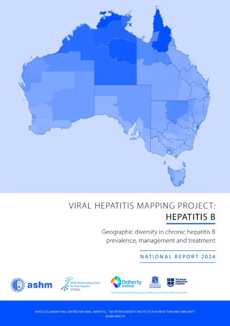
Viral Hepatitis Mapping Project: National Report, Hepatitis B 2024 (published 2026)
This report contains estimates of chronic hepatitis B prevalence, treatment and management at a state and territory, Primary Health Network (PHN), remoteness area, and Statistical Area 3 level. This report also includes data regarding the cultural and linguistic diversity of those affected by chronic hepatitis B, including treatment and care uptake among these populations. Key indicators included in this report can be further explored using the Online Portal, which provides interactive visualisations of these variations.
Download the Viral Hepatitis Mapping Project: National Report, Hepatitis B 2024
Download the Fourth National Hepatitis B Strategy
What’s new in this report?
- Benchmarking against the National Strategy targets for 2030.
- Assessment of progress against the new National Strategy equity measures for targets, including for people born overseas and Aboriginal and/or Torres Strait Islander people.
- Assessment of care uptake during the total period of available data (2011–2024), including adjustments to account for those who have died or emigrated.
- Estimates of projected hepatitis B treatment uptake by PHN in 2030.
- Assessment of the cascade of care, allowing for direct comparison across population groups.
- Assessment of diagnostic testing trends to contextualise diagnosis uptake.
- Adjustment of care uptake estimates to account for viral load testing not billed to Medicare.
Key points:
- There were substantial gaps nationally in hepatitis B treatment uptake (12.7%) and care uptake (27.9%) in 2024 compared to National Strategy targets
- No PHN has met the current treatment uptake or care uptake target, and none are on track to meet the target until after 2030
- More than one third (41.7%) of people with CHB had no evidence of care at any time during 2011–2024
- Hepatitis serology testing (required for diagnosis) declined during 2020, and has not yet returned to 2019 levels among those born overseas in regions with the highest estimated prevalence of CHB (Southeast Asia, Northeast Asia and Sub-Saharan Africa)
- There is evidence of substantial disparities in treatment and care uptake according to priority population.
Complementary resources
Supplement to the Viral Hepatitis Mapping Project: Hepatitis B – National Report 2023
National Surveillance for Hepatitis B Indicators Report
Viral Hepatitis Mapping Project: National Report, Hepatitis C 2024-2025 (published 2026)
This report presents the most recent available treatment data on hepatitis 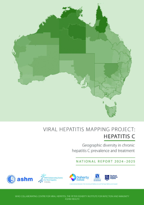 C through May 2025 and the assessment of ongoing trends from 2016. The data enable readers to identify hepatitis C treatment uptake variation in local areas and to assess progress in delivering care to those affected.
Download the Viral Hepatitis Mapping Project: National Report, Hepatitis C 2024-2025
Download the Sixth National Hepatitis C Strategy
What’s new in this report?
- Further assessment of trends in treatment for hepatitis C through May 2025.
- First-ever national reporting of hepatitis C treatment numbers and trends among Aboriginal and/or Torres Strait Islander people.
- Updated assessment of prescribing trends according to provider, including GPs and NPs.
Key points:
- Between March 2016 – May 2025, a total of 112,863 people received hepatitis C treatment
- After high initial treatment uptake in 2016, treatment numbers declined until 2022. The monthly average number then increased in 2023 and declined slightly in 2024, before declining more substantially in 2025
- Estimated treatment uptake varied widely by PHN and continued to be generally lower in remote and very remote regions, and regions of higher estimated hepatitis C prevalence
- GP prescribing was highest in the Western Queensland, Darling Downs and West Moreton, Tasmania, Australian Capital Territory and Northen Queensland PHNs
- NP prescribing was highest in the Brisbane South, Darling Downs and West Moreton, North Coast NSW and Brisbane North PHNs
Complementary resources
The Kirby Institute Annual Surveillance Report – Hepatitis C (2025)
Viral Hepatitis Mapping Project: Online Portal
The Mapping Project’s Online Portal is an interactive tool which allows stakeholders to explore the data presented in the latest National Report on a deeper level, and directly compare regions of interest.
Download the Online Portal instructions and support
More information
The Project is a joint initiative of the WHO Collaborating Centre for Viral Hepatitis Epidemiology, The Doherty Institute and ASHM, funded by the Australian Government Department of Health.
For general enquiries about the Viral Hepatitis Mapping Project, contact Lana Richardson at [email protected]. To discuss specific data, for previous reports, or to request additional information for your area, contact Jennifer MacLachlan at [email protected]. Requests for specific and further data to assist with planning and sector development are welcomed.